[DELETED] curl test
July 24, 2026
Read more →GIS insights, parcel data tutorials, and industry updates from the GetParcelData team.

68% of US counties publish parcel data for free—yet most GIS analysts waste weeks on corrupted shapefiles and incompatible formats. These 12 sources cut the hunt short.

Submarine cables carry 99% of international internet traffic. Finding the right coastal parcels for landing stations can save $5M+ and cut 34 months off project timelines.

# BEAD Broadband Funding: How Parcel Data Maximizes Success
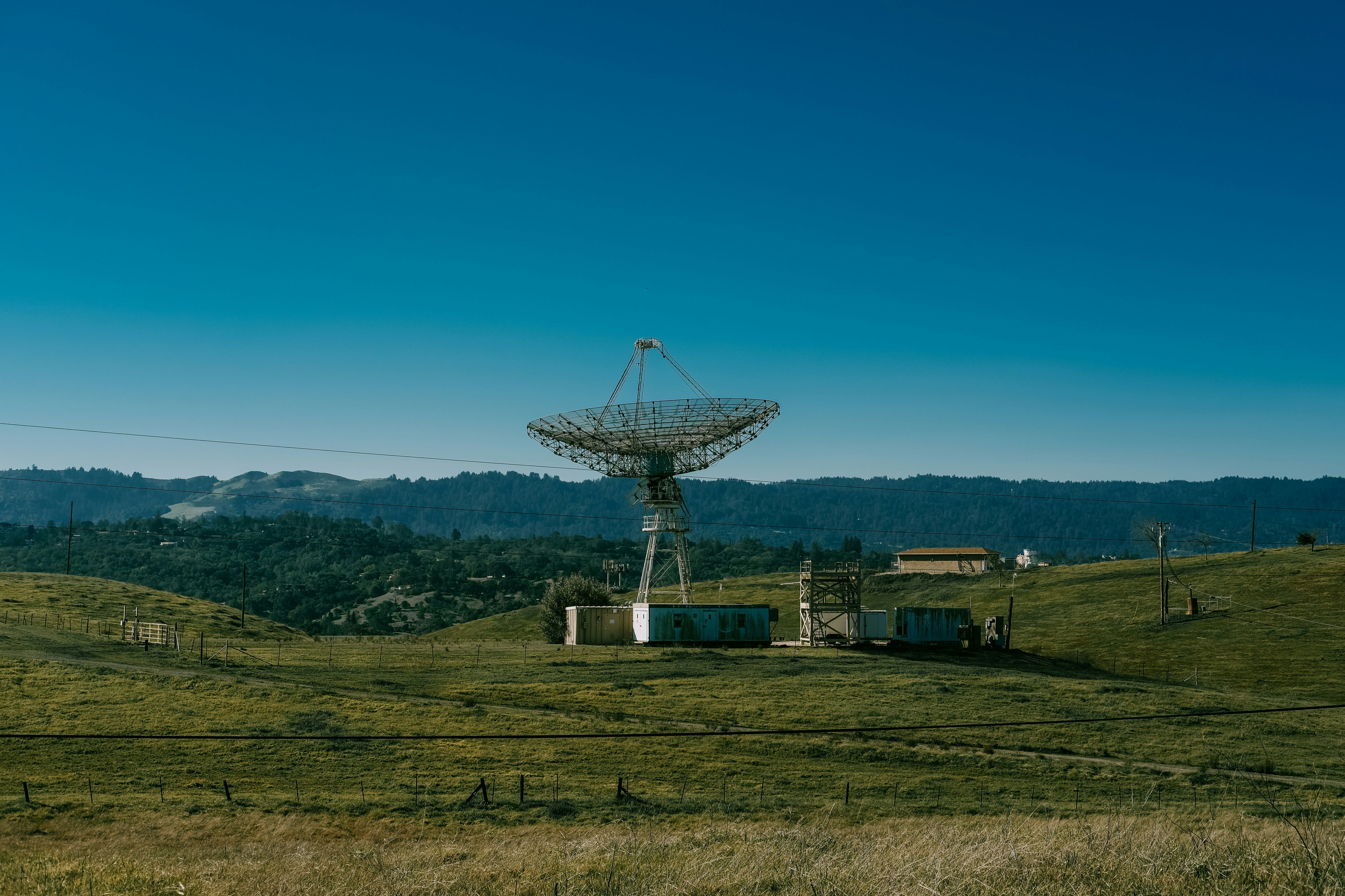
The global satellite ground station market will reach $230.9 billion by 2035. Learn how parcel-level data accelerates earth station siting, speeds FCC licensing, and reduces site selection time by 6+ months.

Rate limits don't have to slow you down. Learn caching strategies, backoff patterns, and pagination techniques for high-volume parcel data API access.

Parcel data—GIS records that map property boundaries, land use classifications, and ownership where available—provides a base layer for optimizing station pl...

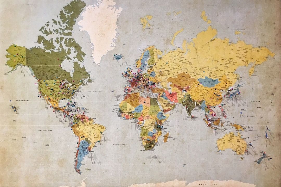
America's property records sit in 3,000+ separate county databases. GetParcelData unifies 160M+ parcels across 52 states. Discover the state of US parcel data in 2026.
Updated excerpt test
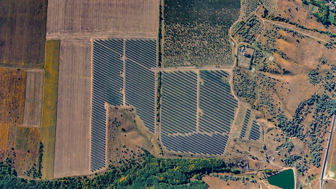
Utility-scale solar screening eliminates 99% of parcels before a site visit. Here's how developers use parcel data to run that filter stack in hours instead of months.

States are deploying $42.5B in BEAD broadband funding. Here is why parcel data quality will make or break fiber rollout projects.
Announcing our new blog where we cover GIS insights, parcel data tutorials, and updates from the team.